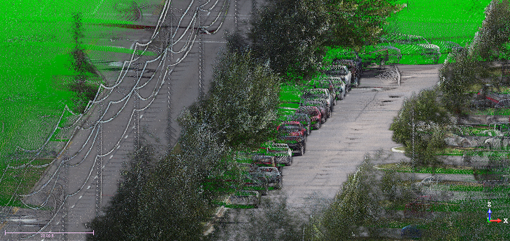
Dryden Road
Crawford, Murphy and Tilly, Inc., Moraine, OH

Provided Mobile LiDAR topographic survey of 1.5 miles of existing two-lane corridor along with curb and gutter. BFW Engineers created an existing topographic surface design model to be used for a street scape design and ADA shared use path design. All captured data was reduced and delivered a standard ODOT Microstation file, Geopak SS2 format file with a completed surface and a point file containing all points associated with the requested surface at a 1-meter grid.